Founded in 1819 as a bustling trading port, the modern city-state of Singapore is now best known for its diverse blend of cultures and cuisine, alongside a rich mix of architecture.
In the land where skyscrapers are interspersed with traditional colonial architecture, greenery and tropical gardens, often the best way to take it all in is by road.
From iconic motorsport-inspired Marina Bay night drives to calm coastal routes and tree-lined trails, here are the best roads to drive in Singapore.
1. Marina Bay Street Circuit night drive
The best route for motorsport fans
Marina Promenade and back via the Downtown Core; 5km loop (3.1 miles)
It’s no surprise that the number one drive for any motorsport fan in Singapore is a lap around the 5-km (3.1 miles) circuit that hosts Formula One racing. The Marina Bay Street Circuit – or Singapore Street Circuit as it’s often called – was the site of the sport’s first-ever night race in 2008 and it remains one of the few circuits that fans can drive around any time of the year, albeit not on a race weekend, of course. The track is best driven at nighttime to get as close to the F1 feeling as possible.
Starting on the long straight, running parallel to the Marina Promenade, the road heads north, slotting under Benjamin Sheares Bridge before weaving its way left to head back down Republic Boulevard. Once around a long, sweeping right-hand bend, the road merges onto the famed Raffles Boulevard, named after Sir Stamford Raffles, the founder of modern Singapore.
Cutting through the Downtown Core, Singapore’s historical heartland, the circuit turns sharply left onto Nicoll Highway, opposite the Kranji War Memorial, before another sharp right turn onto Stamford Road. Just a short way down, it’s another left turn onto St Andrew’s Road and down past Singapore’s National Gallery and Recreation Club before turning left, down to the intersection with Fullerton Highway.
Once on the highway, it’s up to speed as the track fires you north, back toward Raffles Avenue, running parallel to Raffles Boulevard. Wrapping around the modern Esplanade complex, the track weaves its way around the waterfront before meeting back up with the start-finish line, completing the circuit, which takes in a good deal of Singapore’s iconic city center.
Local tip: Just like the F1 race, driving at night brings a whole new dimension to Singapore’s central waterfront, and the sparkling lights of its towers and main attractions glisten as you drive by.
2. The Kranji loop
The best route for a countryside drive
Singapore Turf Club to the Jalan Bahar and PIE junction; 18km (11 miles)
Best known for its sprawling wetlands, farms and nature reserves, driving around the Kranji reservoir takes in some of Singapore’s more rustic countryside.
Start at the Singapore Turf Club, the city-state’s only horse-racing club, founded in 1842. Head north on Kranji Road, in the direction of the Kranji dam. The route weaves in and out of industrial districts until the buildings thin out and give way to a narrow strip of road called Kranji Way, which skims between the Johor Strait and the still waters of Kranji reservoir. Once past the dam, the road winds through the open Kranji countryside, with lush tropical vegetation lining both sides of the road.
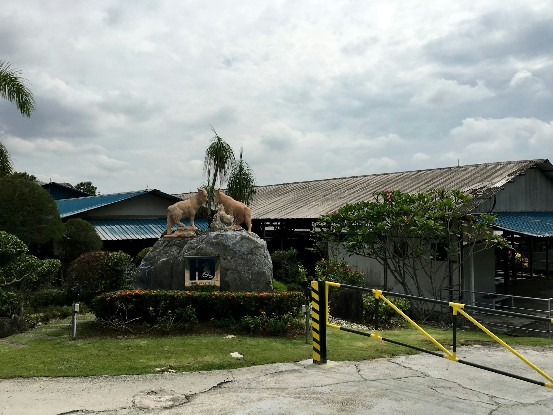
While the single carriageway road is not exactly fast-moving, the route allows for time to refocus away from the hustle and bustle of the city and stop at a few of the farms. Hay Dairies, established in 1988, is Singapore’s only goat farm and is home to around 800 mixed-breed goats.
After you get back on track, the route passes by the Kranji Sanctuary Golf Course and, a little further on, the Kranji Marshes nature reserve. For keen hikers, the marshes provide the ideal opportunity to jump out of the car and stretch their legs before continuing on.
Once past the marshes and around a few kinks, the road straightens and widens as it heads south to link with PIE and KJE highways and Woodlands Road, which fires you back up to the intersection with the Turf Club, completing Singapore’s best countryside loop.

3. Botanic Gardens loop
The best route for an inner-city breather
Singapore Botanic Gardens shop to the National Orchid Garden; 5km (3.1 miles)
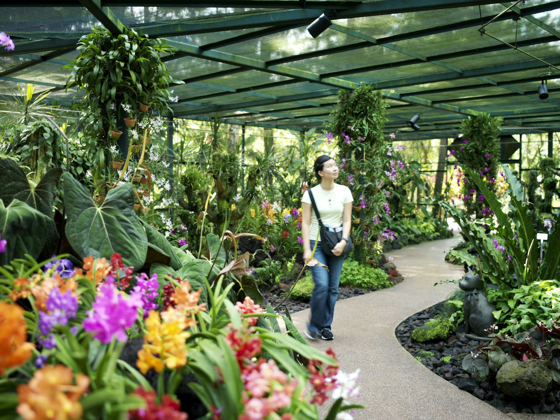
Singapore Botanic Gardens is an inner-city haven, and the perimeter road around it provides the perfect short and sharp breather away from the city. The 162-year-old tropical garden, located on the edges of the Orchard Road shopping district, was awarded Unesco World Heritage Site status in 2014.
While it’s not possible to drive into the gardens, Cluny and Tyersall Roads wrap their way around the edges of the site, where it’s possible to slow down and channel some of the zen the garden is famed for.
Sandwiched between the main thoroughfares of Bukit Timah Road to the north and Holland Road to the south, both Cluny and Tyersall Roads provide the link between the two main roads and skirt the gardens on the east and west side respectively. Offering a welcome reprieve from the dense traffic outside of the gardens, start off driving north on Cluny Road, taking in the sights before turning left onto Bukit Timah Road for a short distance and turning left again to join Tyersall Road, heading south.
Stopping to take in the beauty and tranquility of the 74-hectare (182 acres) botanic gardens is a must. Due to its proximity to the equator, Singapore boasts some of the most beautiful and well-kept tropical vegetation in the world. With calming lakes, rolling lawns and themed gardens, the site has a rare patch of dense primeval rainforest that is teeming with over 300 species of vegetation.
Detour: For those with a bit more time on their hands, take a detour on the west side of the gardens and head up the winding roads that lead up into the residential areas like Cluny Hill. Here, it’s possible to marvel at the modern villas that overlook the gardens, which will be a firm favorite for fans of modern architecture.

4. Mount Faber Park
The best route for seeing the city from up high
Kampong Bahru Road to Morse Road via the peak; 4km (2.5 miles)
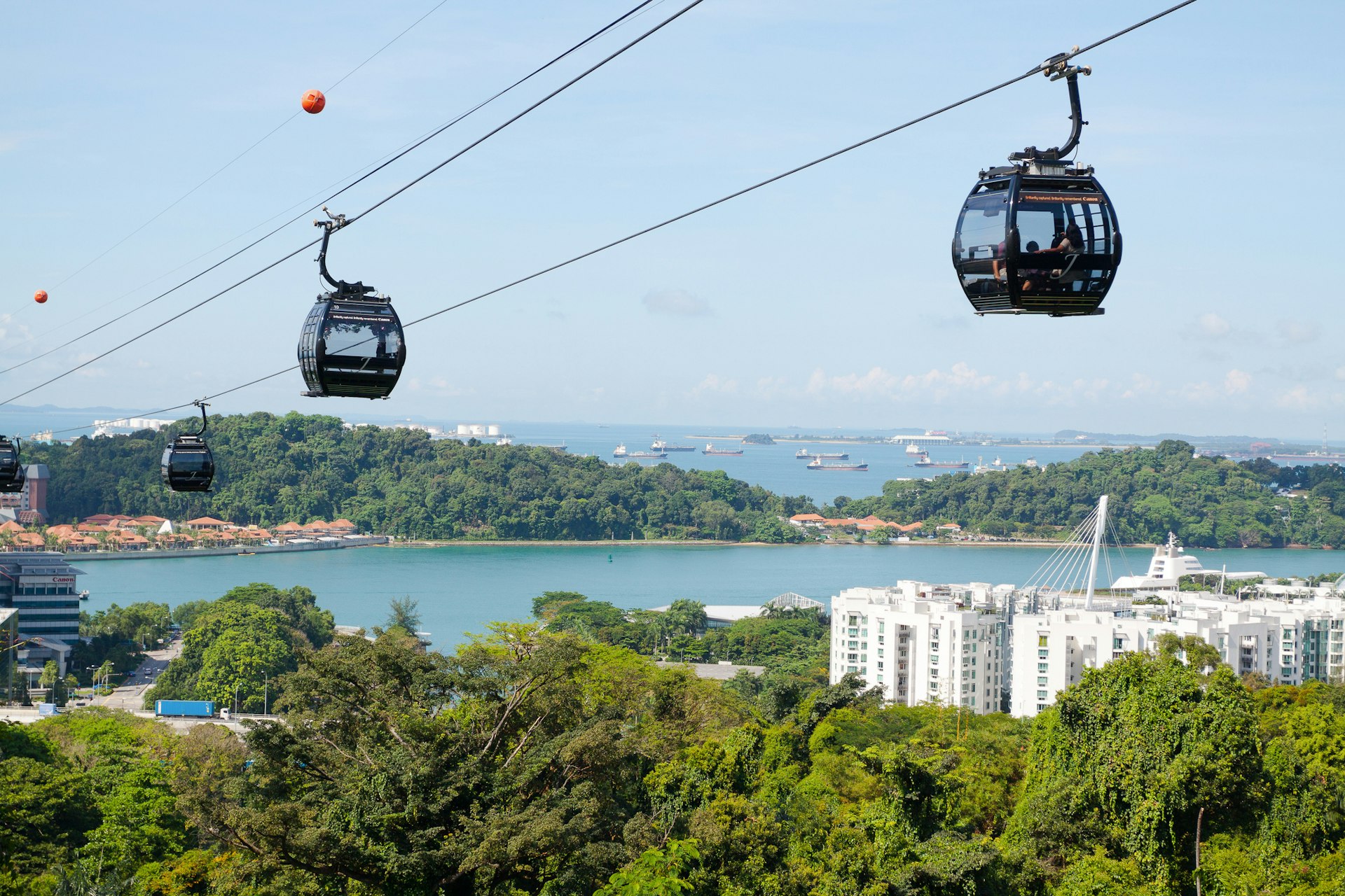
Mount Faber – as the name suggests – is the best place to view the city from a height and the road leading to it is the closest you’ll come to a twisting mountain pass in Singapore. Standing 94m (308ft) above the city, the peak is a popular tourist spot that offers panoramic views over Singapore’s sprawling Central Business District and the coast.
Branching off Kampong Road, heading north, take the exit for Mount Faber Road. At this point, the road starts climbing and weaving its way up Mount Faber, narrowing to a single lane (one way) as you get closer to the top. Lined with lush and dense foliage, the road is a popular route for those seeking a little bit of altitude to escape the bustling city center.
After a mile or so, the road levels out as you approach the peak, which houses restaurants and the Mount Faber cable car. Once past the peak, the road winds its way down the hillside to join Morse Road and, eventually, the busy West Coast Highway.
Local tip: Various lookouts along the route provide the perfect opportunity to get a snap of the view from the top.
5. Mount Pleasant Road
The best road for history and architecture buffs
Singapore Polo Club to the PIE highway; 1.6km (1 mile)
While not as high as Mount Faber, Mount Pleasant Road is the place to spot Singapore’s colonial architecture and traditional black-and-white bungalows while enjoying a gentle, undulating drive.
Starting out at the Singapore Polo Club, first founded in 1886, Mount Pleasant Road starts to climb very gradually as the surrounding buildings are replaced by dense vegetation and mature Saga trees. Along the way, look out for the many gated driveways that lead off the road – behind the walls and security, it’s possible to make out the colonial-era architecture and bungalows that still remain a prominent feature of Mount Pleasant.
Halfway along, you’ll see an exit for the Senior Police Officers Mess, which gives way to a lane that leads to an impressive black-and-white traditional-style building that once served as a police mess during the colonial era.
Past here, the road continues to wind and drop back down as more gates and driveways reveal hidden houses and architectural interests. Approaching the end, the road starts to lead onto an intersection that joins the busy PIE highway.
