
©Pierre Leclerc Photography/Getty Images
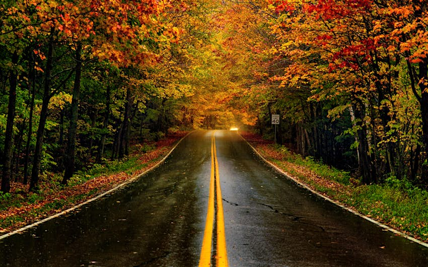
While we’re all sad when summer is over, the good news is that we’re entering a really pretty time of year when colorful fall foliage appears in myriad shades of green, copper, orange, yellow and gold.
To help travelers to plan their trips to catch the leaves change colors in different parts of the US, an interactive map has been created.
Now in its seventh year, the 2020 Fall Foliage Prediction Map by smokymountains.com is a visual planning guide to the annual progressive changing of the leaves. It notes that as average temperatures continue to slowly increase, their effect on precipitation patterns and weather will have an impact on the brightness and length of the fall color season across the US.
The interactive map was created by analyzing millions of data points and putting them together county-by-county. It has a slider to allow users to follow the changing leaves through the entire fall season, enabling travelers to take more meaningful fall vacations, capture beautiful fall photos and enjoy the natural beauty of autumn.
 The fall foliage at Smugglers’ Notch State Park in Vermont, USA © Naphat Photography/Getty Images
There are also articles on the website with information on the science behind why autumn leaves change colour, what the different hues mean and what happens to the leaves after they fall. It also warns that no foliage tool can ever be 100% accurate, as the timing and vibrancy of the colors depends greatly on the unpredictable weather ahead and the major factors impacting peak fall are sunlight, precipitation, soil moisture and temperature. To see more on the 2020 Fall Foliage Prediction Map, please see here.
